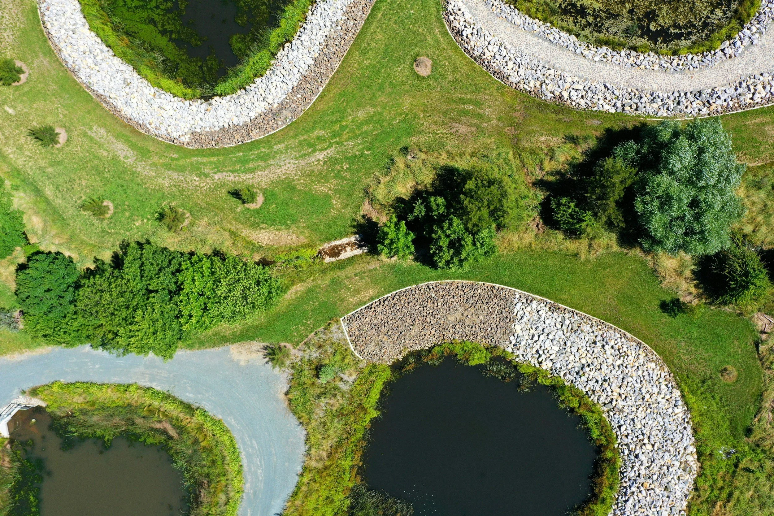
DRONE MAPPING & DATA SOLUTIONS

Turn aerial imagery into powerful insights. Our drone mapping services deliver accurate data—including measurements, 3D models, and site analytics—giving you the tools to plan projects, track progress, and make informed decisions with confidence.
WHAT KIND OF DATA DO YOU GET?
-
Distances, acreage, and elevation
-
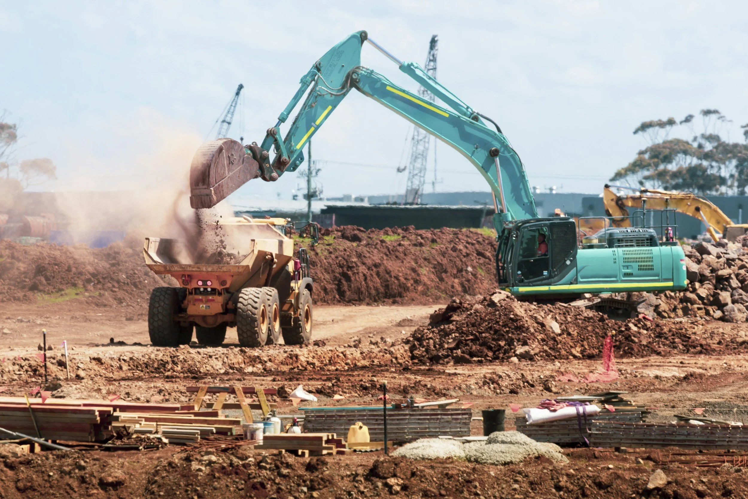
Track dirt movement and material quantities
-
High-resolution, survey-style aerial views
-
Interactive models for better visualization
-
Compare site changes over time
DELIVERABLES
Every mapping project includes professionally processed data designed to be easy to use, share, and apply to real-world decisions.

-
A fully stitched, top-down map of your property or job site with accurate scale and detail.
Delivered as:
High-resolution image (JPG/PNG)
Optional GeoTIFF (for survey/GIS use)
Shareable web link for easy viewing
Use it for:
Site planning
Property overviews
Documentation & reports
-
Get precise measurements directly from your map without needing to revisit the site.
Includes:
Distance measurements
Area calculations (acreage, square footage)
Perimeter outlines
Delivered as:
Interactive map or annotated files
Optional exports for CAD/GIS workflows
-
A detailed 3D representation of your site that can be viewed from any angle.
Delivered as:
Interactive web viewer (easy to share)
Optional downloadable model files (OBJ, LAS, etc.)
Use it for:
Visualization
Planning & presentations
Client communication
-
Accurately measure material quantities like dirt, gravel, or debris.
Includes:
Cut & fill estimates
Stockpile volume reports
Delivered as:
Simple report (PDF)
Supporting visuals/maps
-
Track changes over time with consistent, repeatable flight data.
Includes:
Before/after comparisons
Timeline visuals
Ongoing site documentation
Delivered as:
Organized image sets
Side-by-side comparisons
Monthly or scheduled reports
-
Elevation-based model showing terrain and structures across your site.
Use it for:
Drainage analysis
Slope evaluation
Site planning
-
All deliverables are organized and delivered through a simple, shareable link.
Cloud-based access
Downloadable files
Mobile-friendly viewing
LET’S WORK TOGETHER!